
A watershed is the area of land that catches rain and snow which drains or seeps into a marsh, stream, river, lake, or groundwater. Tributaries are smaller streams that flow into other larger streams. The Beaver Lake Watershed drains to Beaver Lake, the drinking water source for Northwest Arkansas. The quality of life and economic prosperity in Northwest Arkansas rely greatly on the health of Beaver Lake and its watershed.
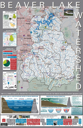
Subwatershed Maps
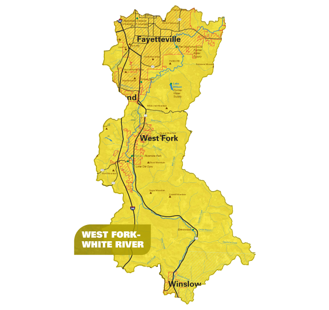
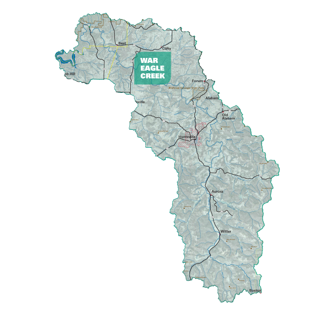
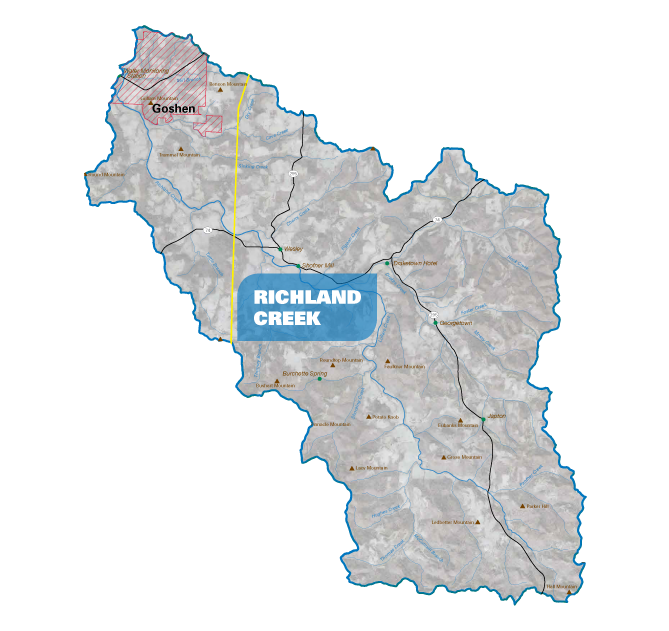
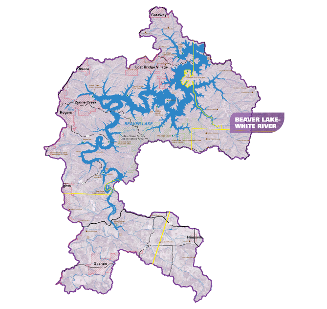
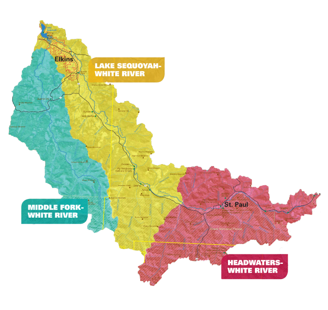
* Maps may contain outdated information